
From Fiji to Indonesia: building local skills for community-scale flood modelling
15 December 2025
As RISE deepens its environmental modelling work across the Asia–Pacific, the project’s geographic momentum is matched by something equally important - the growth of local expertise across countries.
Earlier this year, RISE data officers Waisale Rakusa and Maika Nativa played a central role in capturing and processing high-resolution data to better understand and prepare for climate-related flood risks in Fiji.
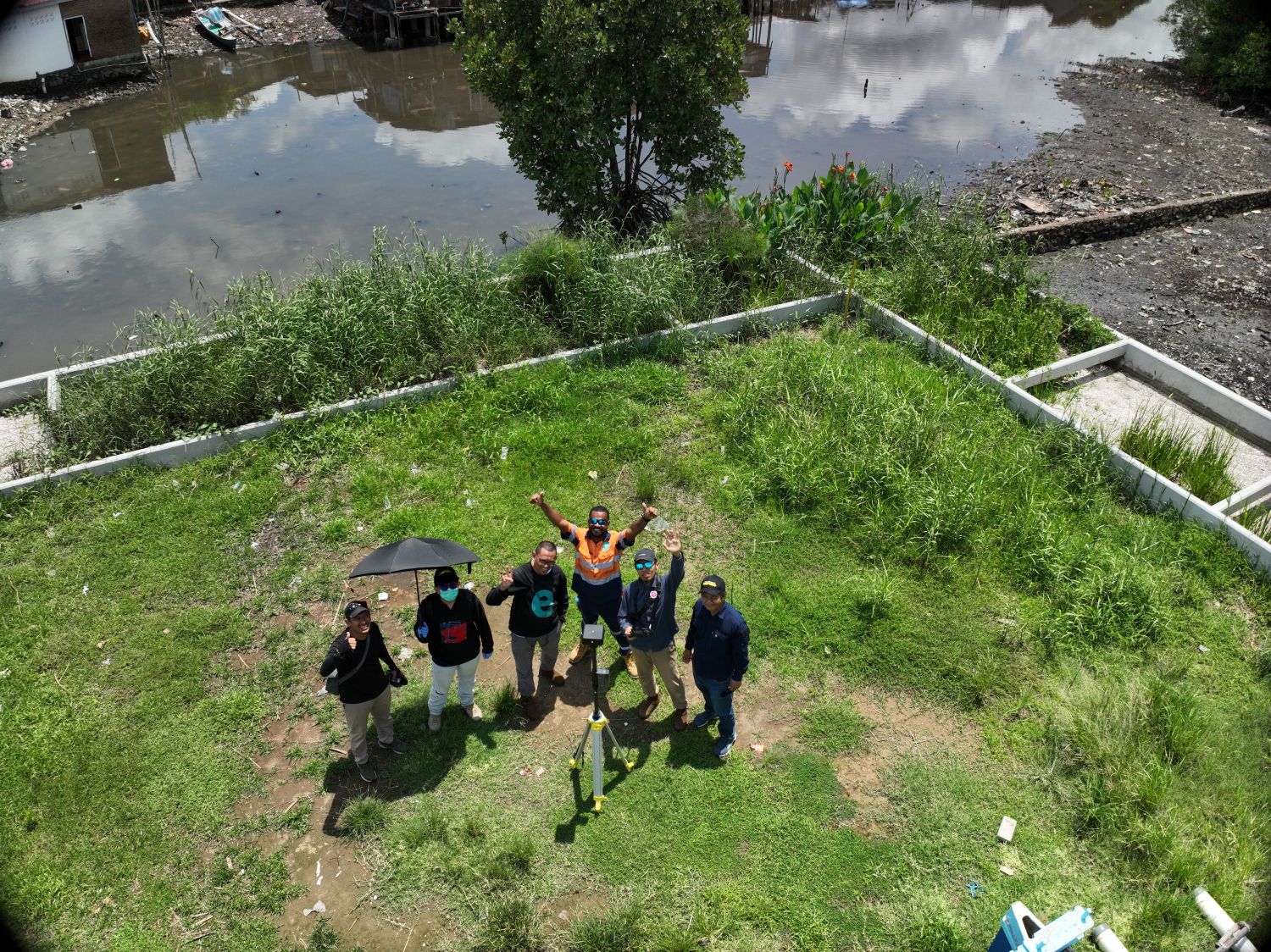
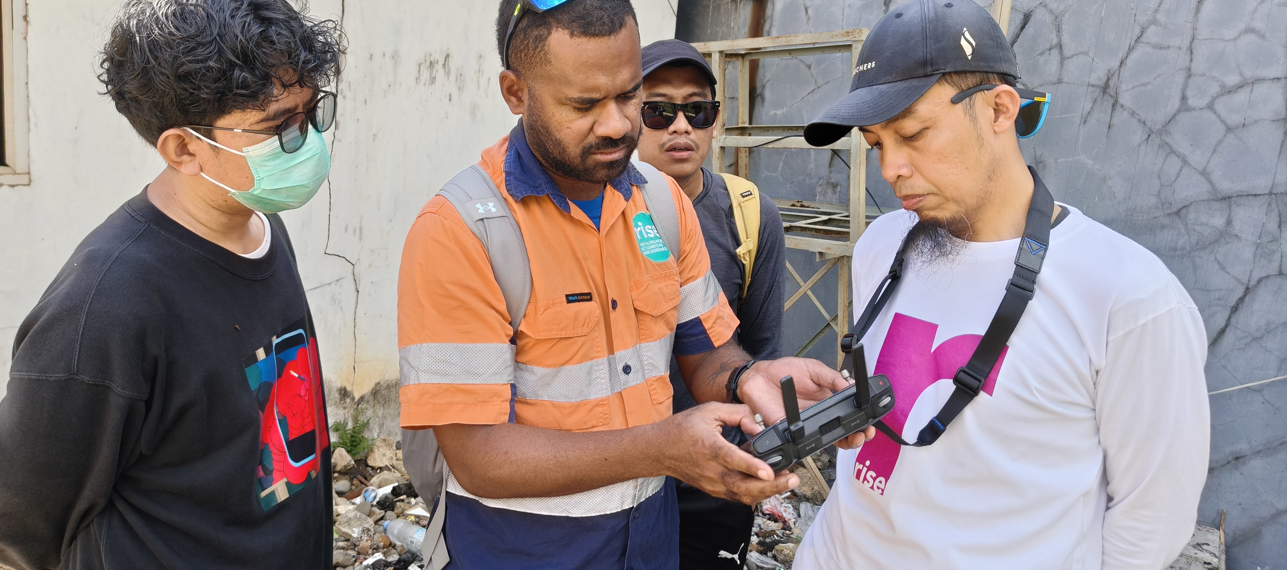
Today, their experience is shaping the next phase of the program in Indonesia. Rakusa, who strengthened his skills in drone mapping and image processing, is now passing on his knowledge to five new technicians in Makassar. Together, they are working through the same hands-on steps - from preparing flight paths and capturing aerial images to stitching thousands of photos into detailed surface models and aerial imagery.
Above: RISE data officer Waisale Rukasa, centre, conducts drone training in Indonesia.
“It’s rewarding to know that what we learned in Fiji can now help informal settlements in another country to understand where flooding happens and how that might affect community health,” Waisale says.
The expanded team will help validate new flood simulations, refine model inputs, and test climate-risk scenarios tailored to local settlement conditions.
Flood modelling will help inform climate adaptation strategies, such as infrastructure planning, but it begins with capturing high quality drone imaging. “You can’t rely on coarse, low-resolution data to understand how water moves through spaces,” Project Lead, Dr Brandon Winfrey explains. “You miss the detail — and the detail is where the risk lives.”
“When local teams lead the work, modelling becomes more accurate, more trusted, and far more impactful for the communities it aims to support.”
This is the first cross-country skills transfer for the Data team, with images being captured over December.
